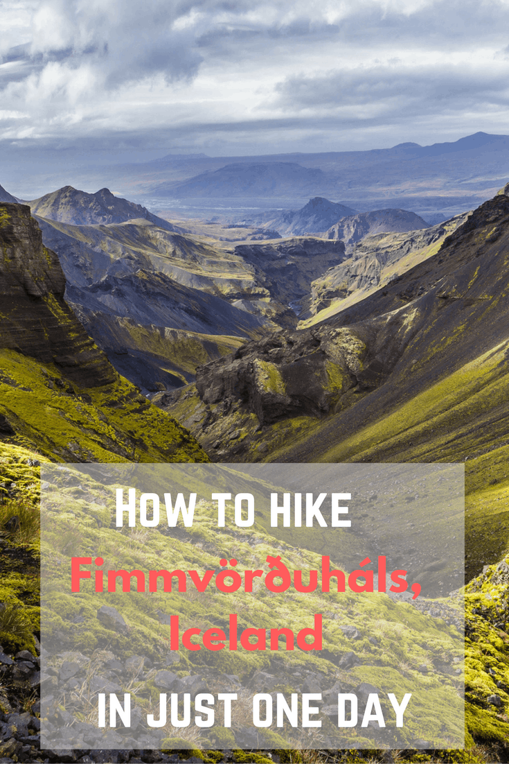
How to Hike the Fimmvörðuháls Mountain Pass in Just One Day
The Fimmvörðuháls Trek is one of Iceland's most popular hiking trails. In this article, I explain how to hike this 13 mile long trail on your own in just one day.
Article updated on 2. June 2019.
Getting there and back
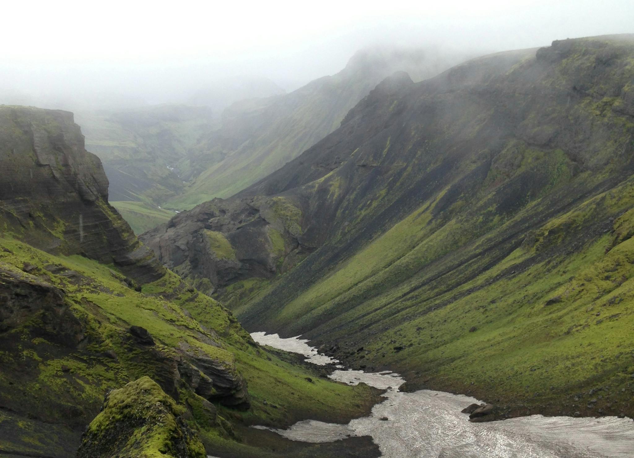
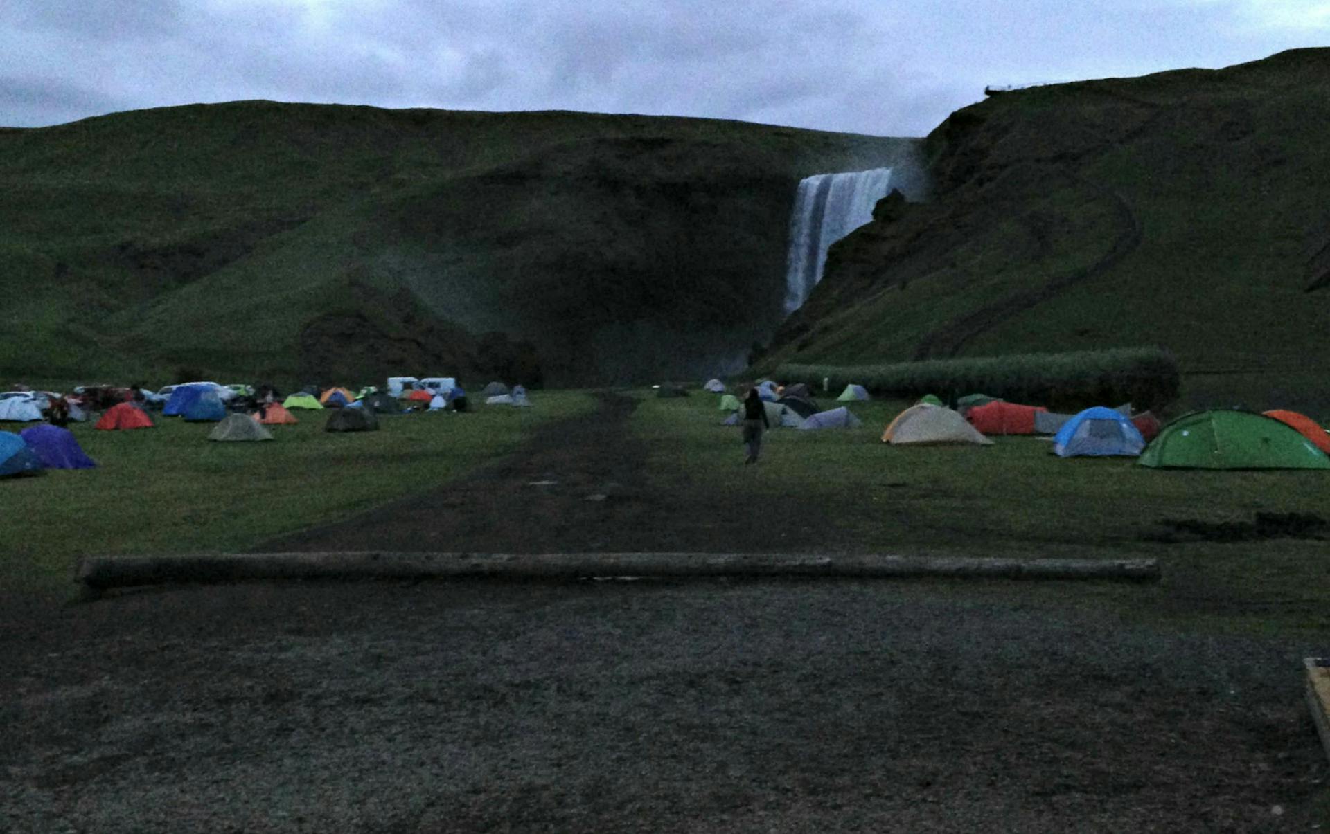
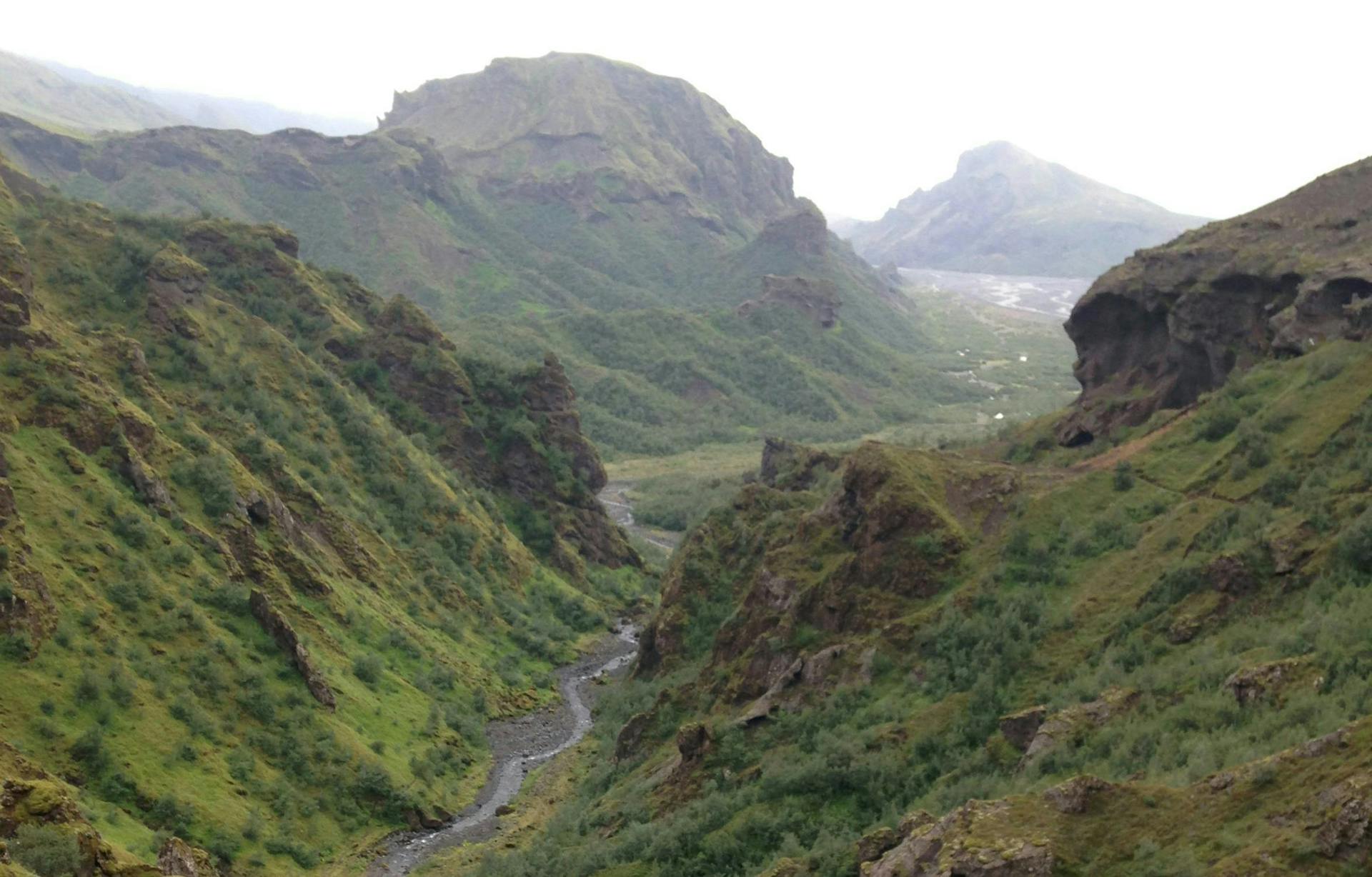
Fimmvörðuháls is a mountain pass between two glaciers in South Iceland, Mýrdalsjökull Glacier and Eyjafjallajökull Glacier . Hiking over the pass has been popular for years and there is a trail that starts in Skógar near the south coast and terminates in Þórsmörk Nature Reserve (or vice versa).
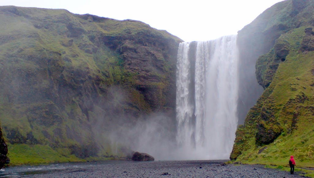
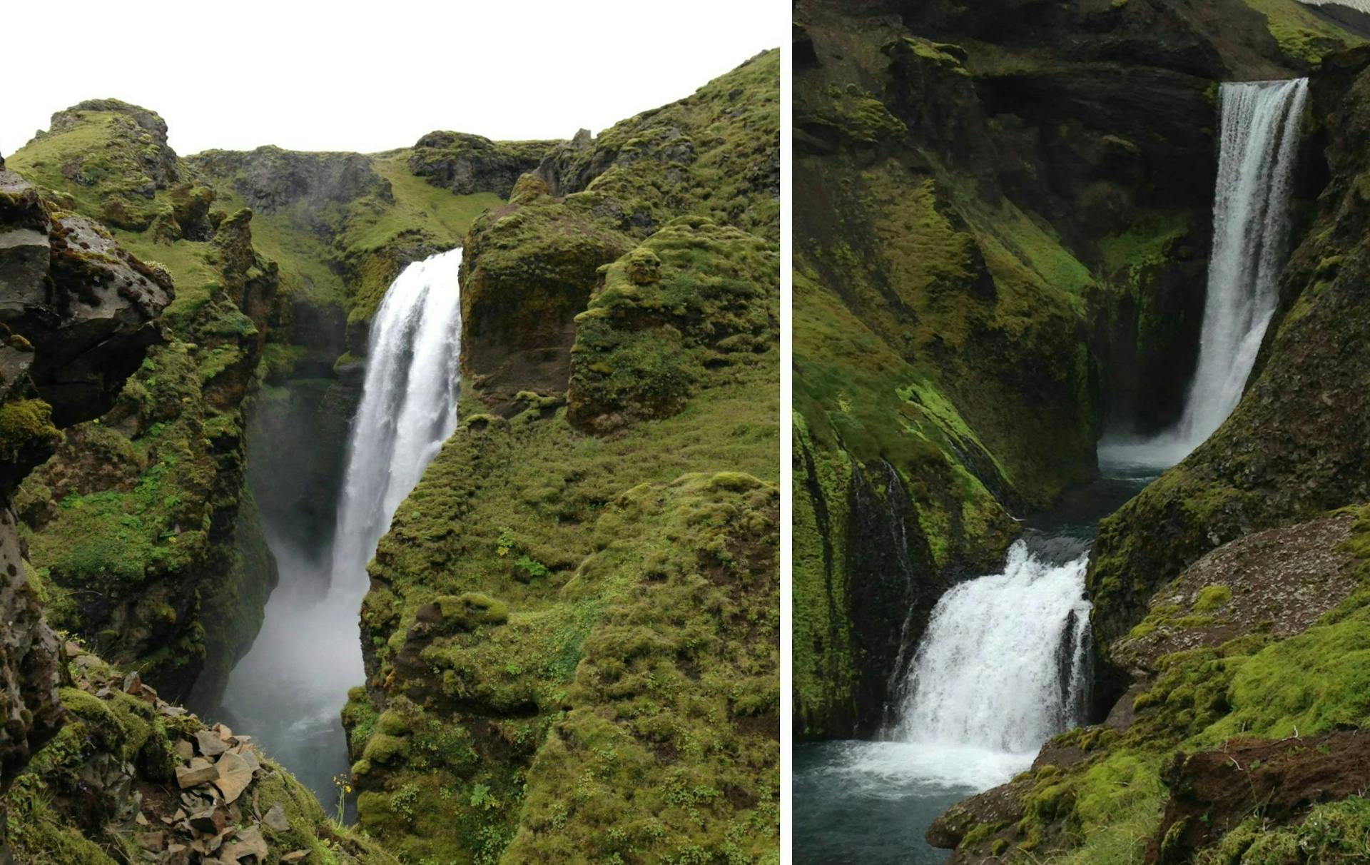
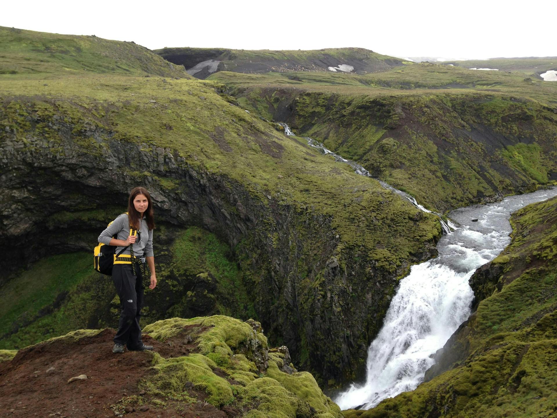
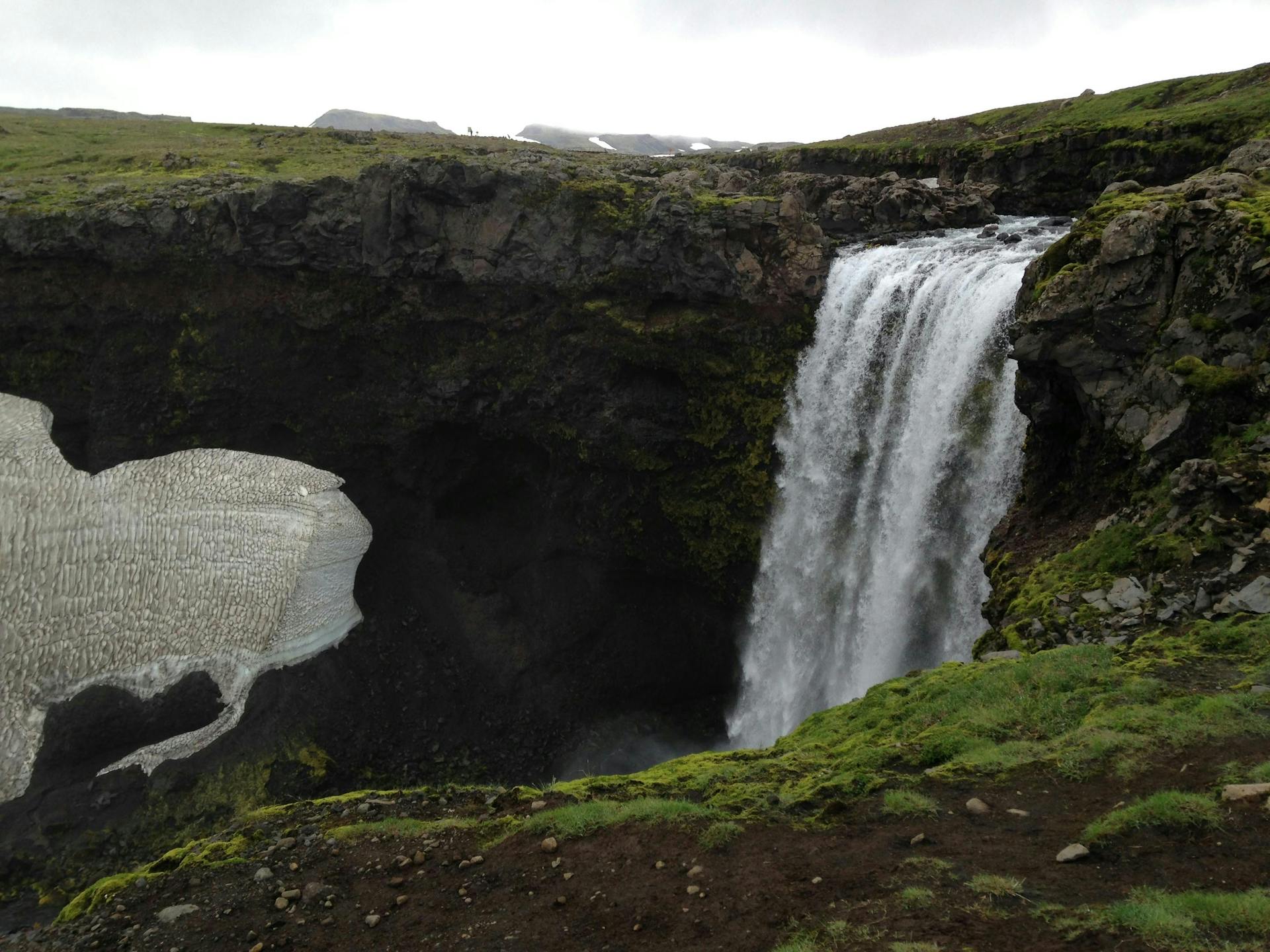
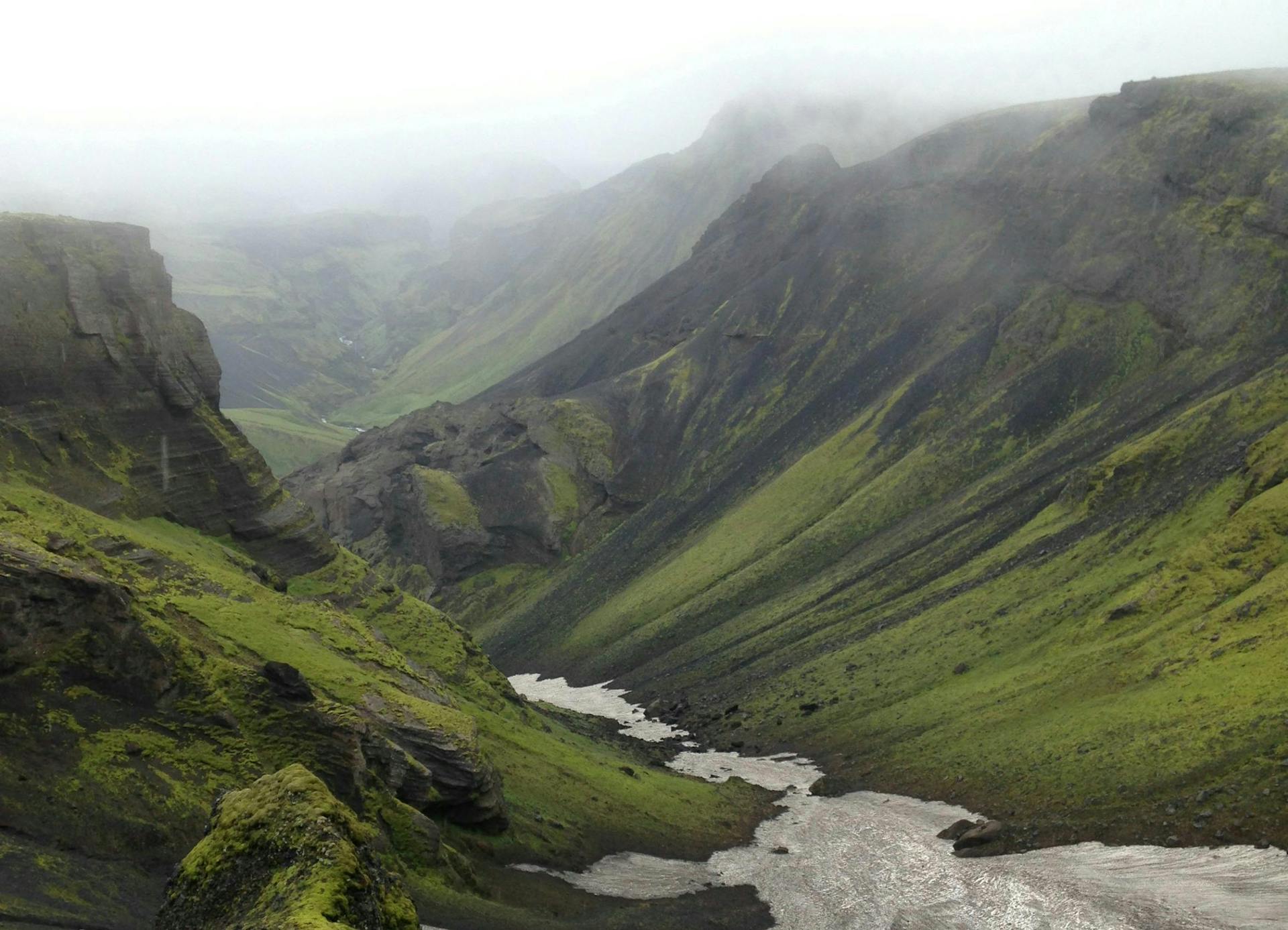
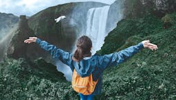
I think the popularity of this specific hike is mostly due to the magnificent landscape you witness along the way. The scenery is incredibly variable: you will see dozens of pretty waterfalls, green fields of moss, vast lava fields, glaciers, mountains and lush valleys.


See also: Ultimate Iceland Road Trip Guide
The trail itself is 22 kilometers, or 13.7 miles. The total elevation is approximately one kilometer, or about 3000 feet. Most hikers split the trail between two days and lodge in a cabin midway. You can buy expensive guided tours where the lodging and bus fares will be included but hiking Fimmvörðuháls in one day without a guide is actually no problem at all.
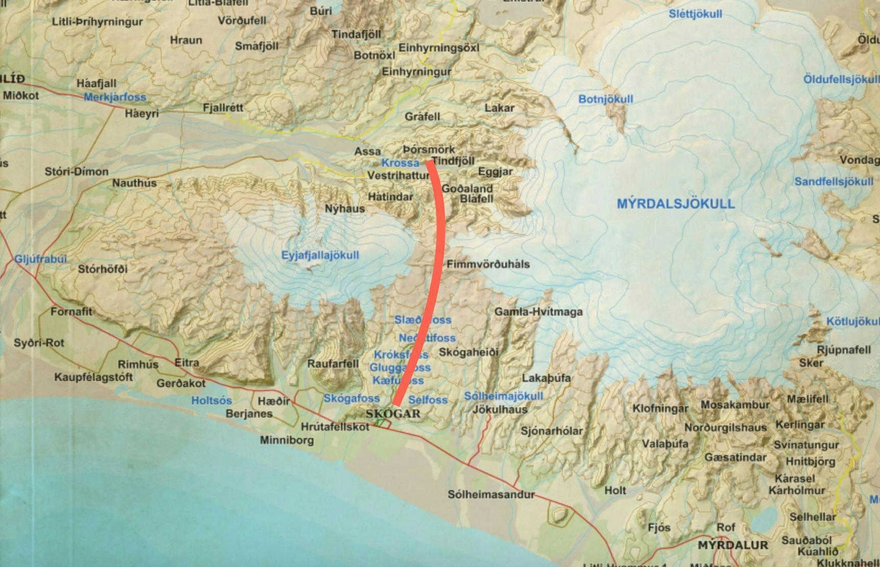
The red line is a rough approximation of the trail. More precise maps are to be found at the beginning of the trail in Skógar. You can take a look at a pretty detailed map by clicking here .
When I first did the Fimmvörðuháls Trek, I wasn't very keen on the idea of spending the whole weekend walking roughly 13 miles. I was pretty sure I could do it in one day and started arranging the trip with that in mind.
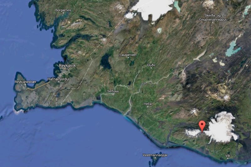
I live in Reykjavik so I had to take the travel from there to Skógar into account. The drive from Reykjavik is around two and a half hours. Also, I had to figure out how to get back to the car from Þórsmörk. The hike is not a round trip and that means you will end up far away from your car! It took me ages to find out how to arrange this.
The best solution is to leave your car at Seljalandsfoss in the morning and either hitchhike to Skógar or take this bus here. I would rather hitchhike instead of taking the bus since the bus doesn't leave until around 10:30. When you arrive in Básar (that's in Thórsmörk) you will take this bus to Seljalandsfoss where your car is already parked. The bus departs at 18:30, which means that you will not have time to take many breaks en route.
Some of you might ask whether this one day hike in Fimmvörðuháls, including the trip to and from Reykjavik, would be possible if you haven't got a rental car. There's no clear answer to that question, but you might make it if you take the 7am bus from Reykjavik to Skógar and then you take the 18:30 bus from Básar (in Thórsmörk). This means that you will have to do the whole hike in seven hours. Doable, but it's kind of risky if you miss the bus from Básar.
I had bought all the bus tickets beforehand at the Main Bus Terminal (BSÍ) in Reykjavik. I don't know if this was really necessary but I recommend that you study the bus schedule well unless you want to get trapped somewhere in the wilderness overnight.
Since I had to catch the bus at 8 pm in Þórsmörk, I tried to walk at a brisk pace. I stopped two times for a quick bite and a couple of times for taking photos. In retrospect, I think I actually overestimated how long the walk would take—I arrived way to early in Þórsmörk and had to wait two hours for the bus.
The Fimmvörðuháls Trek is gaining in popularity, especially amongst non-Icelandic travellers. Despite that, I never felt the trail was too crowded and some moments you felt completely alone.
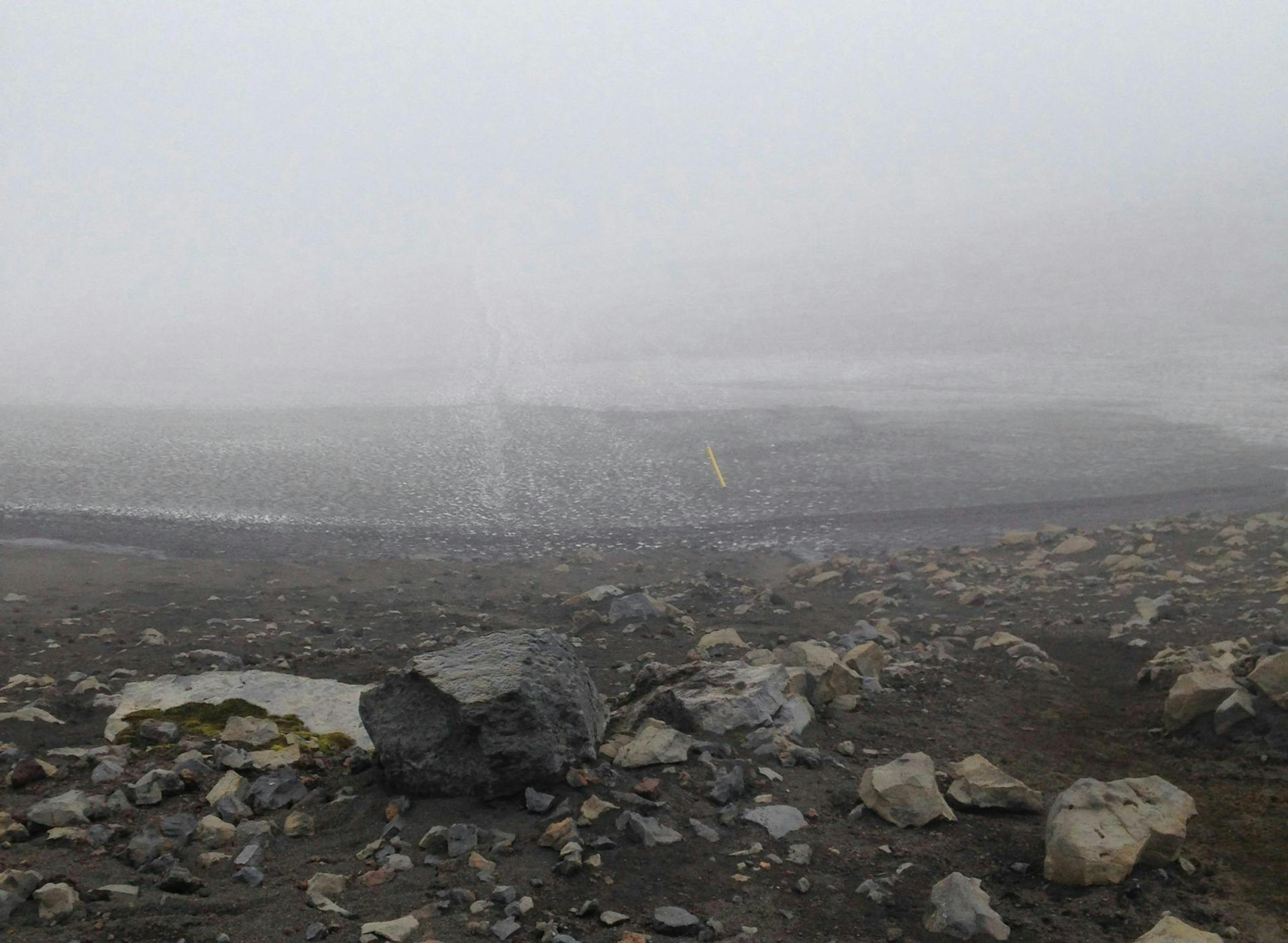
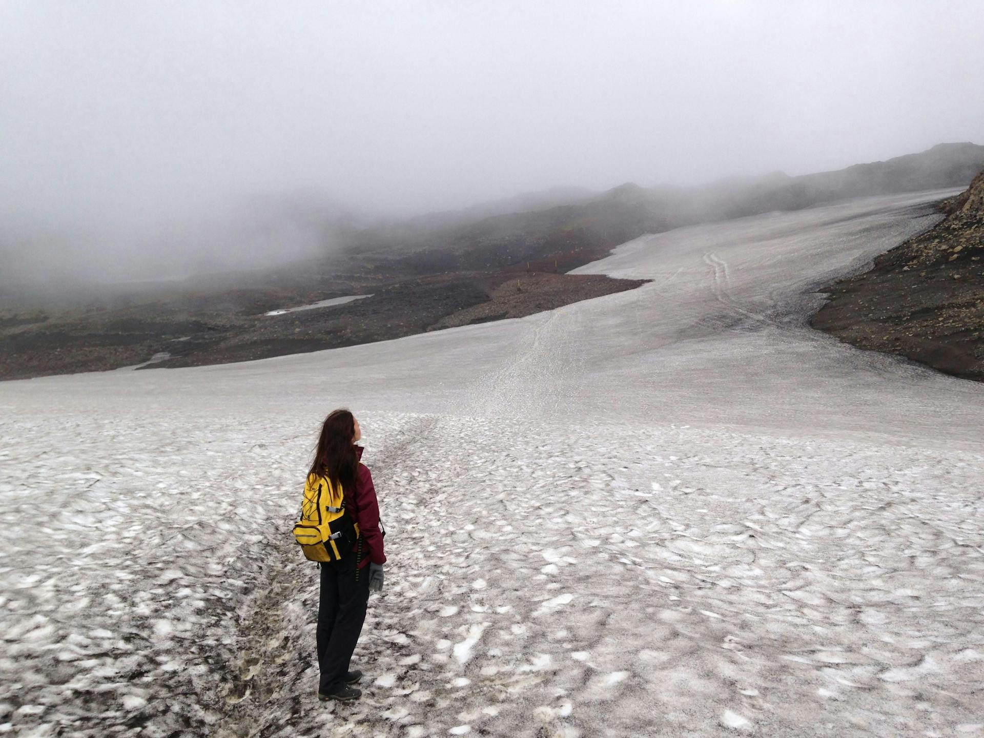
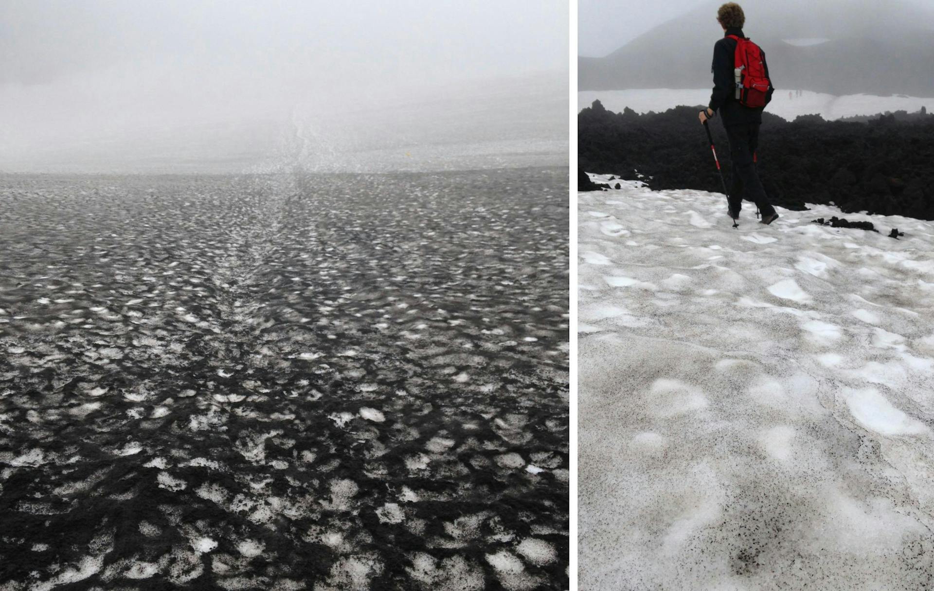
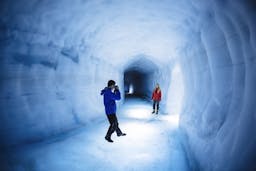
I assume the rise in popularity might be due to lava formations you will come across on the glacial-part of the trail. These lava fields are a result of a volcanic eruption in two brand new craters in 2010 that happened a few weeks before the infamous Eyjafjallajökull eruption. These craters in Fimmvörðuháls were given the names Móði and Magni, after Thor's two sons . Be on the lookout for a sign while you are walking over the glacier, so you won't miss them.
Safety and what to bring
Fimmvörðuháls is only open June, July and August. Despite of that, the temperatures up on a highland mountain pass in Iceland are never high, not even during the hottest months. When I did the hike, the sky was cloudy and the temperature was around 40°F (5°C). When you are starting the trek, the temperature is obviously higher since you are close to sea level. You can check out the weather in Fimmvörðuháls here .
I advise you to stay on the safe side and wear warm clothes. Or at least bring them with you. Wear layered clothing, woolen inner layer and preferably wool or fleece mid-layer and a windproof jacket. I get cold easily so I was wearing three layers but this is of course depends on the person. Good gloves and a hat/headband/buff is always worth taking along, though, since it doesn't take much space and can work wonders in the cold Icelandic summer.
Bring a comfortable backpack and don't forget to carry food and snacks with you. There are no stores on the way, obviously, and there isn't even a supermarket in Skógar. It's probably easiest to prepare some snacks in Reykjavik or make a stop in the Bónus store in Selfoss.
There have been incidents where people have been hospitalized after suffering from hypothermia in Fimmvörðuháls. Four deaths have actually occured, two in 1970 and two in 2010. These tragic incidents happened because the hikers lost track of the trail and wandered somewhere into the wilderness. This can of course happen in certain conditions, especially when it's very foggy.
I downloaded an app called Pocket Earth which is a GPS for your smartphone that even works offline. I didn't have to use it much but it would have come in handy if I had lost track of the trail. I also downloaded the 112 Emergency App , I urge all tourists that to do the same, just in case.
Do you want to know more about the Fimmvörðuháls Trek? Click here to find more articles. Also, if you want to find more local knowledge about Iceland, you should definitely check out Wonderguide.com, where you'll find everything you need for your dream trip.
Photos (excluding the first one): ©Wonderguide Inc. 2017
People also like this
Sharing is caring!